kopia lustrzana https://github.com/openmaptiles/openmaptiles
7
water_name
Lukas Martinelli edytuje tę stronę 2016-12-08 11:02:37 +00:00
Lake center lines for labelling lake bodies. This is based of the osm-lakelines project which derives nice centerlines from OSM water bodies. Only the most important lakes contain labels.
Fields
name_en
The english name:en value if available.
name
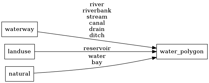
The OSM name value of the water body.
class
At the moment only lake since no ocean parts are labelled. Reserved for future use.
Mapping Diagram
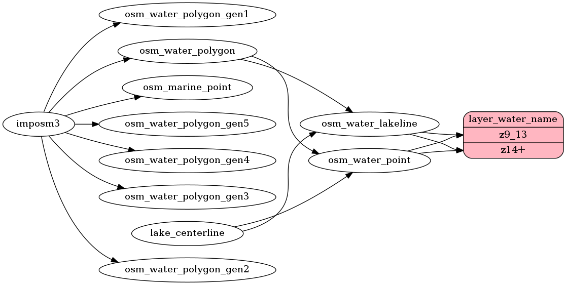
ETL Diagram
SQL
SELECT geometry, name, name_en, class FROM layer_water_name(ST_SetSRID('BOX3D(-20037508.34 -20037508.34, 20037508.34 20037508.34)'::box3d, 3857 ), 14)