|
|
||
|---|---|---|
| config | ||
| img | ||
| public | ||
| scripts | ||
| src | ||
| .gitignore | ||
| .nvmrc | ||
| LICENSE | ||
| README.md | ||
| package-lock.json | ||
| package.json | ||
| tsconfig.json | ||
README.md
Safe Cycling Map
Work in progress! PRs and forks very welcome :)
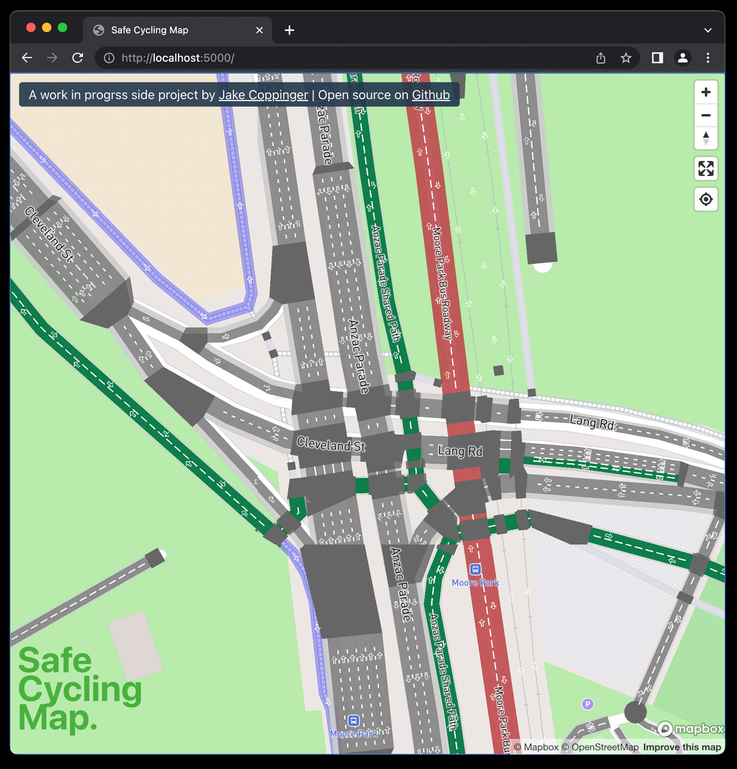
A map of bike infrastructure using osm2streets output.
Uses osm2streets-vector-tileserver, a vector tileserver I wrote to generate Protobuf GeoJSON vector tiles using the JS bindings to osm2streets (which is written in Rust).
Local development
See instructions for setting up the backend tileserve at https://github.com/jakecoppinger/osm2streets-vector-tileserver
Install packages:
nvm install
npm i --legacy-peer-deps
Run dev server:
npm run start
Runs the app in the development mode.
Open http://localhost:3000 to view it in the browser.
The page will reload if you make edits.
You will also see any lint errors in the console.
npm run build
Builds the app for production to the build folder.
It bundles React in production mode and optimizes the build for the best performance.
License
GNU GPL v3