|
|
||
|---|---|---|
| config | ||
| docs | ||
| img | ||
| public | ||
| scripts | ||
| src | ||
| .gitignore | ||
| .nvmrc | ||
| LICENSE | ||
| README.md | ||
| package-lock.json | ||
| package.json | ||
| tsconfig.json | ||
README.md
Safe Cycling Map
A map showing how safe a street is for cycling, based on (arbitrary) metrics. See the key for how street safety is calculated.
This is a work in progress side project. This data is not guaranteed to be accurate.
When zoomed in close, individual road and bicycle lanes are shown. When zoomed out, streets are coloured by their safety ratings.
Disclaimer
Warning: This is an arbitrary rating system. Data is open source and not guaranteed to be accurate.
This map uses OpenStreetMap data. It is not a complete or accurate map of the world and should not be used in such a manner that deficiencies, omissions, inaccuracies or errors could result in death, loss or injury. The maps are an iterative ongoing work-in-progress and everyone is welcome to contribute editing the OpenStreetMap data if you spot inaccuracies. (warning courtesy of CyclOSM)
Contributing: Found a mislabelled street? You can fix it!
Head to https://bikemaps.org/blog/post/improving-bicycling-data-on-openstreetmap for instructions on how to fix OpenStreetMap data.
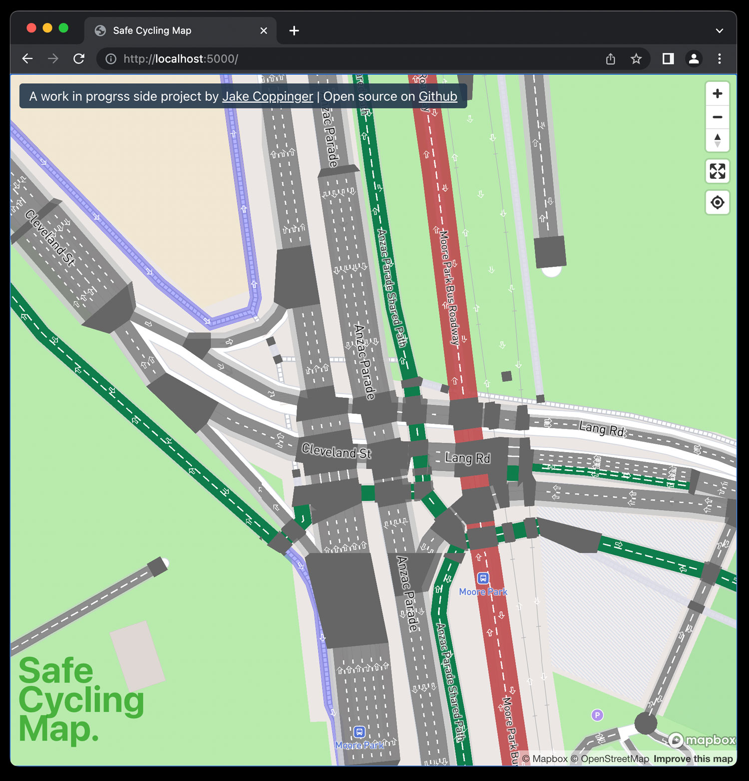
A map of bike infrastructure using osm2streets output.
Uses osm2streets-vector-tileserver, a vector tileserver I wrote to generate Protobuf GeoJSON vector tiles using the JS bindings to osm2streets (which is written in Rust).
Local development
See instructions for setting up the backend tileserve at https://github.com/jakecoppinger/osm2streets-vector-tileserver
Install packages:
nvm install
npm i --legacy-peer-deps
Run dev server:
npm run start
Runs the app in the development mode.
Open http://localhost:3000 to view it in the browser.
The page will reload if you make edits.
You will also see any lint errors in the console.
npm run build
Builds the app for production to the build folder.
It bundles React in production mode and optimizes the build for the best performance.
License
GNU GPL v3