kopia lustrzana https://github.com/OpenDroneMap/WebODM
595 B
595 B
Introduction
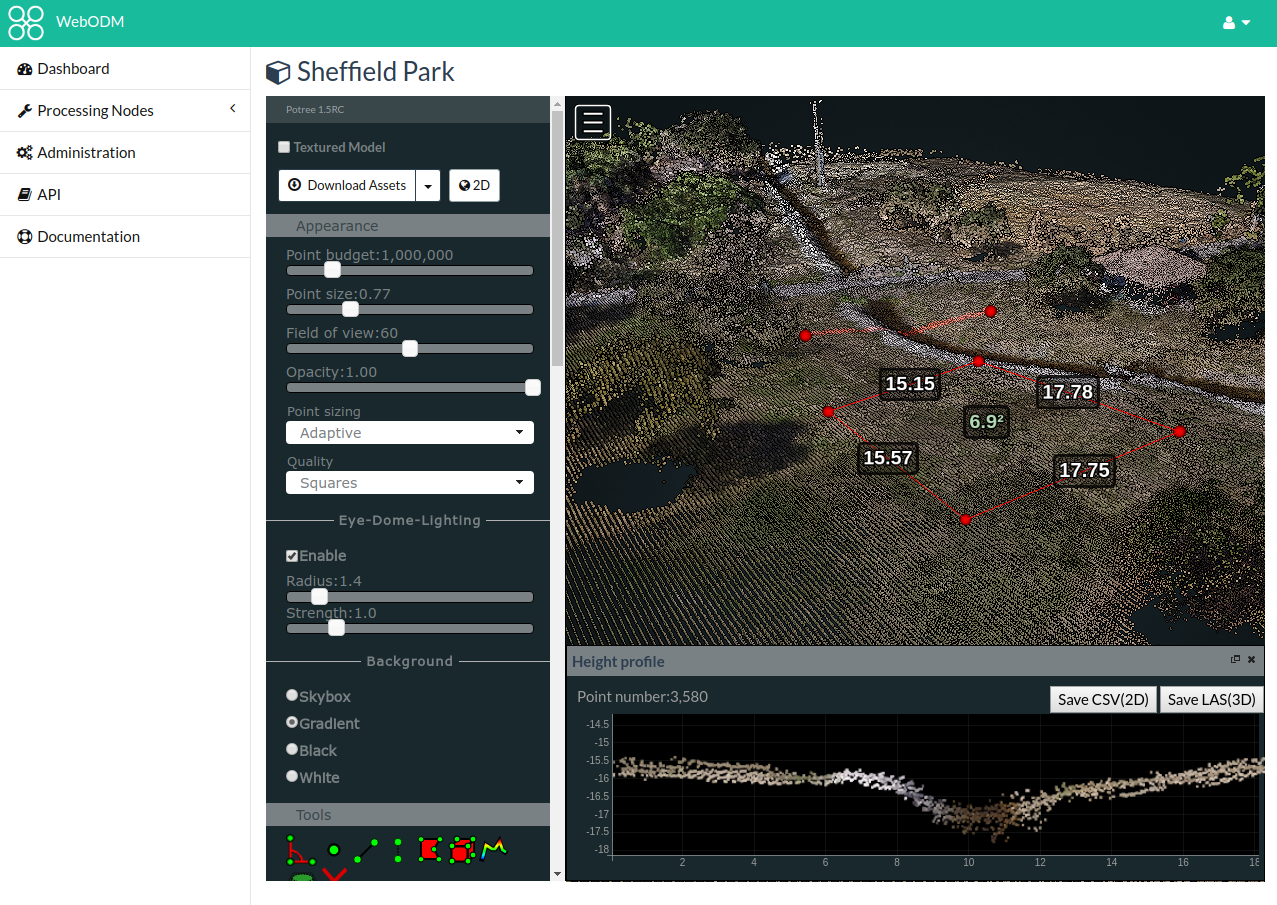
WebODM is a free, user-friendly, extendable application and API for drone image processing. It generates georeferenced maps, point clouds and textured 3D models from aerial images.
Developers can leverage this API to extend the functionality of WebODM or integrate it with existing software like QGIS or AutoCAD.