kopia lustrzana https://github.com/OpenDroneMap/WebODM
README.md


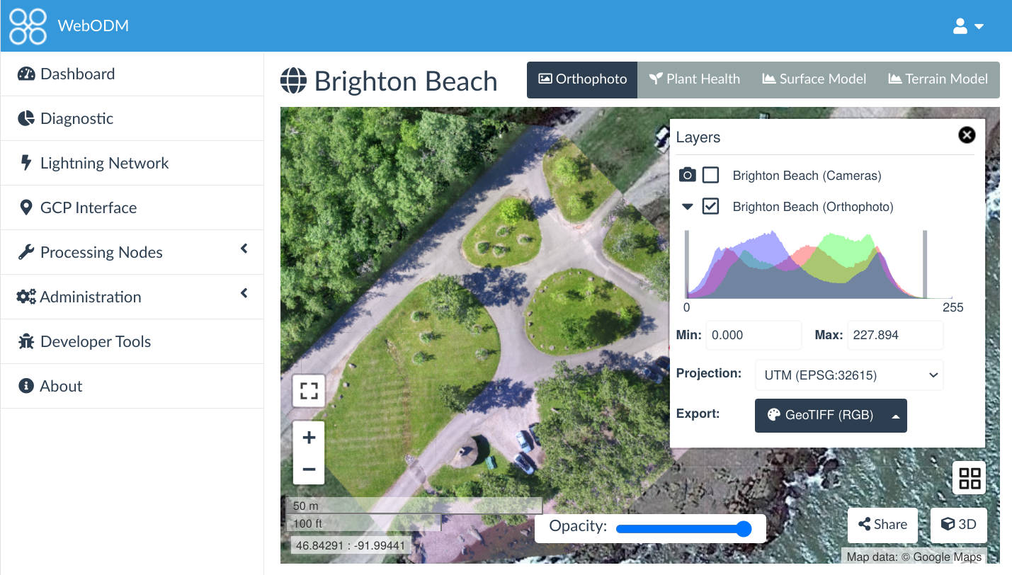
![]()
A user-friendly, commercial grade software for drone image processing. Generate georeferenced maps, point clouds, elevation models and textured 3D models from aerial images. It supports multiple engines for processing, currently ODM, MicMac and LGT.
Getting Started
License
WebODM is licensed under the terms of the GNU Affero General Public License v3.0.