kopia lustrzana https://github.com/openmaptiles/openmaptiles
This PR does the following: 1. Suppresses underground buildings from rendering, when such buildings are tagged `location=underground`. Based on the wiki documentation, the `layer` tag does not determine whether a feature is above of below ground. 2. Unifies the building and building relation imposm exclusion mappings. The following underground building feature in Luxembourg is used as the test object: https://www.openstreetmap.org/way/582873794 |
||
|---|---|---|
| .. | ||
| README.md | ||
| building.sql | ||
| building.yaml | ||
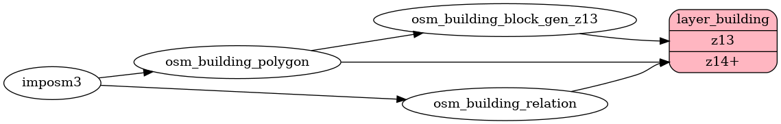
| etl_diagram.png | ||
| mapping.yaml | ||
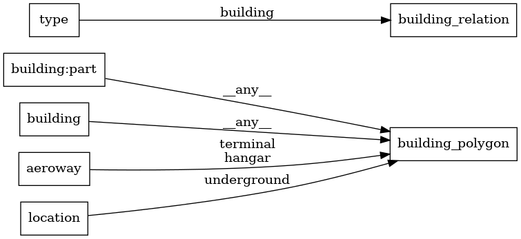
| mapping_diagram.png | ||
| update_building.sql | ||
README.md
building
Docs
Read the layer documentation at http://openmaptiles.org/schema#building
Mapping Diagram
ETL diagram