kopia lustrzana https://github.com/openmaptiles/openmaptiles
This PR proposes to add a new class, "pond" to the water layer, which allows for a style to de-emphasize minor bodies of water (tagged `water=pond,basin,wastewater`) when compared to more significant objects tagged reservoir/lake. This PR retains the default behavior of classifying a water body as a "lake" if more specific tagging is not added. |
||
|---|---|---|
| .. | ||
| README.md | ||
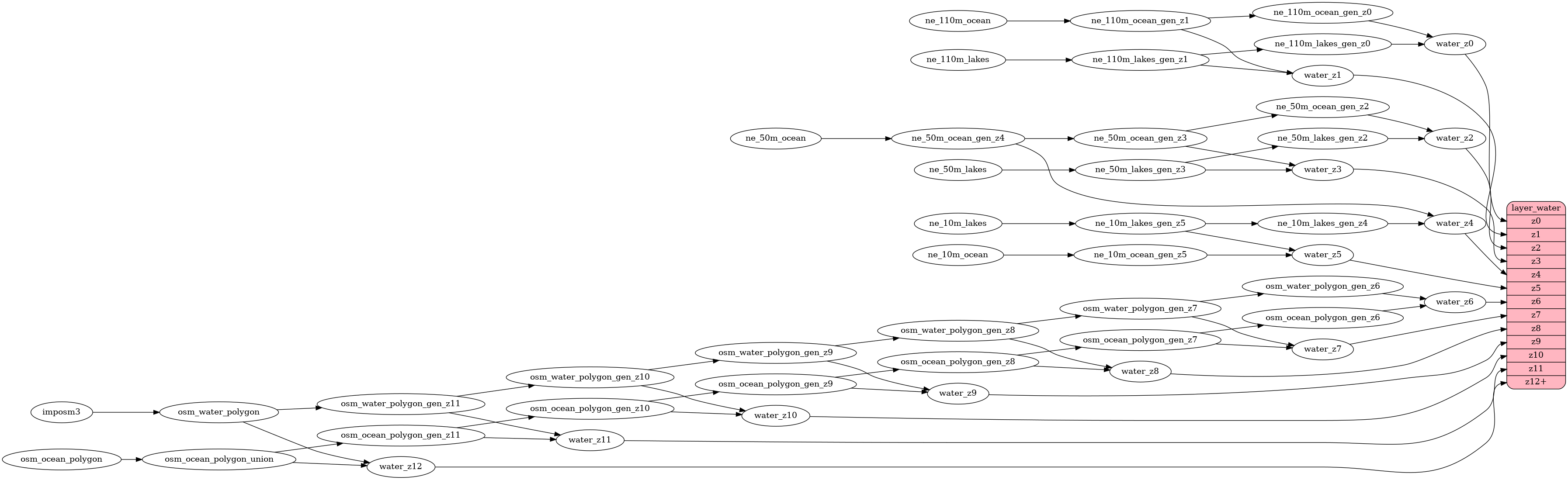
| etl_diagram.png | ||
| mapping.yaml | ||
| mapping_diagram.png | ||
| style.json | ||
| update_water.sql | ||
| water.sql | ||
| water.yaml | ||
README.md
water
Docs
Read the layer documentation at http://openmaptiles.org/schema#water
Mapping Diagram

ETL diagram