README.md
OpenMapTiles
OpenMapTiles is a collection of vector tile layers you can mix and match to create your own vector tile sets It is used by OSM2VectorTiles and we encourage you to collaborate, reuse and adapt existing layers and add your own layers.
You define a self contained Layer together with SQL files and layer and data source definitions (like a imposm3 mapping file) that you can then reference in a Tileset where you mix and match with other layers.
Layers
Standard Layers
OpenMapTiles contains a collection of Natural Earth and OSM based layers (with imposm3 mapping) you can modify and adapt. We welcome new standard layers from other data sources or import tools (like osm2pgsql with ClearTables).
Each layer is documented and self contained. Click on the link for each layer to get more information.
Layers can be chosen to create a Tileset like the openmaptiles.yaml tileset.
- boundary
- building
- highway
- highway_name
- housenumber
- landcover
- landuse
- place
- poi
- railway
- water
- water_name
- waterway
Define your own Layer
Take a look or copy a standard layer like building to get started with your own layer. A layer consists out of a Layer definition written in YAML format.
There you specify the layer proerties like id, buffer_size and possible Markdown documentation (description and fields).
You can also reference SQL files in schema for writing the necessary queries for your layer or create generalized tables.
We encourage you to have a function per layer which takes the bounding box and zoom level. This makes it easy
to test and reuse.
If your data is based of OSM you can also directly reference a imposm3 mapping file to choose the OSM data you need.
layer:
  id: "building"
  description: Buildings from OpenStreetMap
  buffer_size: 4
  datasource:
    query: (SELECT geom FROM layer_building(!bbox!, z(!scale_denominator!))) AS t
  fields:
    render_height: An approximated height from levels and height of building.
schema:
  - ./building.sql
datasources:
  - type: imposm3
    mapping_file: ./mapping.yaml
Define your own Tileset
A Tileset defines which layer will be in your vector tile set (layers)
and metadata used for generating a TM2Source project to actually generate the vector tiles.
tileset:
  layers:
    - layers/building/building.yaml
    - layers/housenumber/housenumber.yaml
    - layers/poi/poi.yaml
  name: Street Level
  description: A tileset showing street level info like building, housenumbers and POIs.
  attribution: "OpenStreetMap contributors"
  maxzoom: 14
  minzoom: 13
  center: [-12.2168, 28.6135, 4]
Develop
To work on OpenMapTiles you need Docker and Python.
- Install Docker. Minimum version is 1.10.0+.
- Install Docker Compose. Minimum version is 1.6.0+.
- Install OpenMapTiles tools with
pip install openmaptiles-tools
Build
Build the tileset.
# Build the imposm mapping, the tm2source project and collect all SQL scripts
make
# You can also run the build process inside a Docker container
docker run -v $(pwd):/tileset openmaptiles/openmaptiles-tools make
Prepare the Database
Now start up the database container.
docker-compose up -d postgres
Import external data from OpenStreetMapData, Natural Earth and OpenStreetMap Lake Labels.
docker-compose run import-water
docker-compose run import-natural-earth
docker-compose run import-lakelines
Import OpenStreetMap data with the mapping rules from
build/mapping.yaml (which has been created by make).
docker-compose run import-osm
Work on Layers
Each time you modify layer SQL code run make and docker-compose run import-sql.
make clean && make && docker-compose run import-sql
Now you are ready to generate the vector tiles using a single process (for a full blown distributed workflow of rendering tiles check out openmaptiles/distributed). Using environment variables
you can limit the bounding box and zoom levels of what you want to generate (docker-compose.yml).
docker-compose run generate-vectortiles
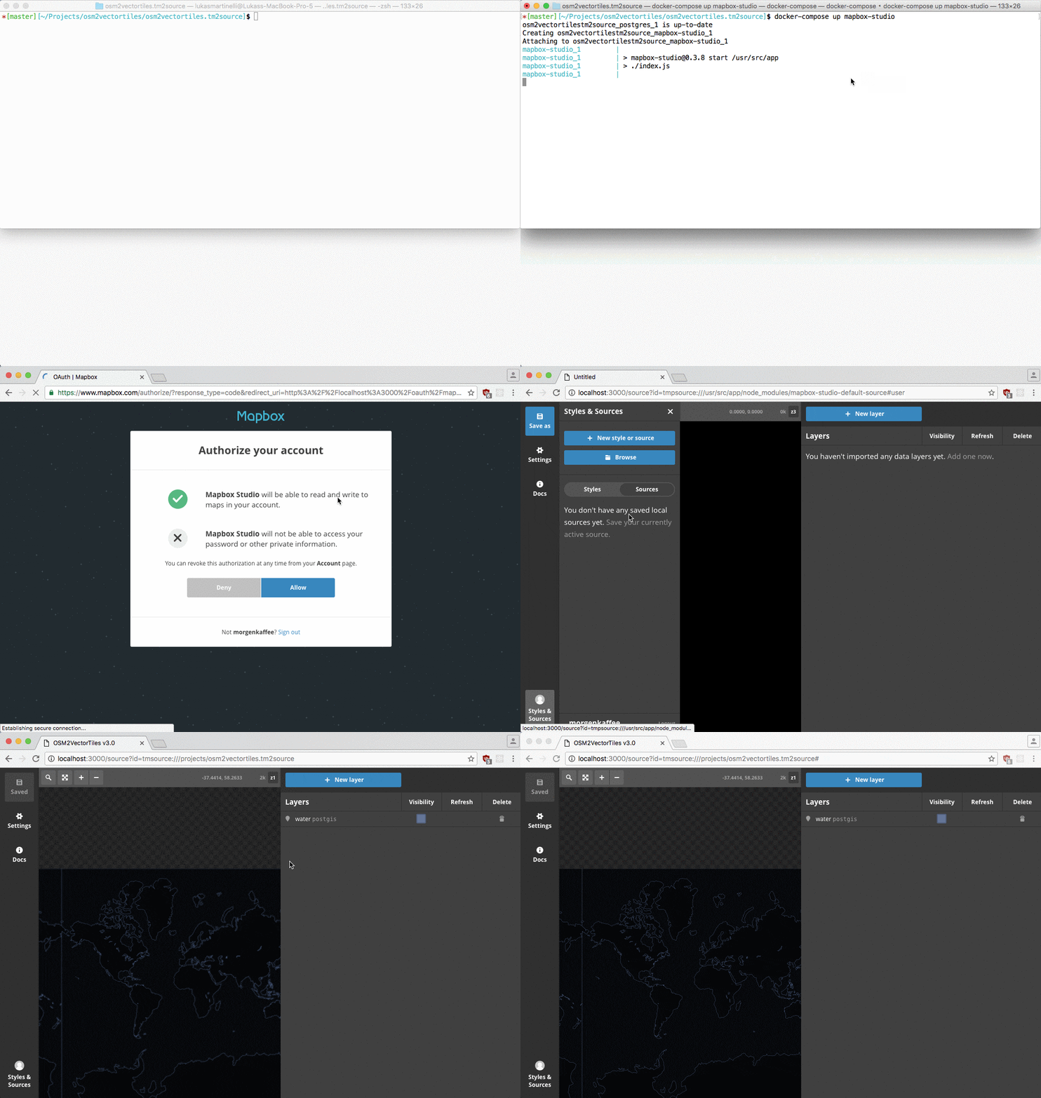
To look at the vector tiles you can start up Mapbox Studio Classic in a container
and visit localhost:3000 and open the vector source project under /projects.
docker-compose up mapbox-studio
License
All code in this repository is under the MIT license and the cartography decisions encoded in the schema and SQL is licensed under CC0.
